Nitrate Concentrations in the Preakness
Brook, Wayne Township, New Jersey.
UV Data showing absorption at wavelengths from 200 to 275 nm
Nitrate concentrations determined at 220 nm.
Graphical
representation of nitrates at various sample points.
Purpose:
1.
To accumulate a set of raw data that can be used to evaluate the
real world performance of various advanced UV nitrate determinations
over extended periods of time. These
methods have been developed to eliminate interferences in environmental
samples.
Examples of these methods include second derivative calculations
and molar absorbance calculations based on measurements at three
wavelengths
2.
To establish a regular program of sampling and analysis that,
under the direction of a suitable faculty
member, will be available as a student research project.
Contact Information
Kevin Olsen
Passaic River Institute
Room 359 Richardson Hall
Montclair State University
Normal Ave
Montclair, NJ, 07043
973-655-4076
973-655-7772 (Fax)
OlsenK@Mail.Montclair.Edu
Sample Points:
Barbour Pond Outlet. Samples were taken standing on the dam from
the surface of the pond. The samples came from an area between 2
and 3 meters south of the outlet. Barbour Pond is 277 feet above
sea
level and located at 74 degrees 13'36.91" W, 40 degrees 57'36.14" N
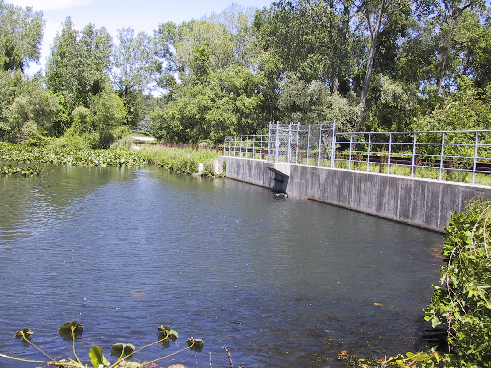
Barbour Pond outlet
in June 2006. Samples are taken standing on the dam.
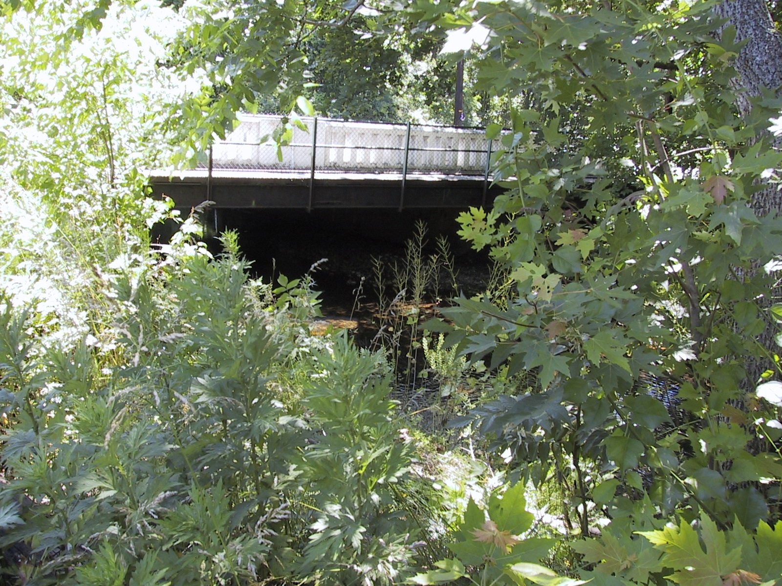
John F. Kennedy
School. Samples were taken from the middle of the metal arch
bridge near the area used as Wayne Safety Town. There are two
bridges on the school property and this is the one farthest upstream.
Laauwe Ave (L. Ave)
Samples were taken from the upstream side of the bridge located at the
junction of Preakness and Laauwe avenues.
The Laauwe Ave
Sample Point, June 2006
Tintle Park.
Samples were taken standing on the small sand bar located on the
west bank of the stream. This sample point is downstream of the
park and also downstream of the tributary stream entering the
brook from the west.
West Belt, Samples were taken on the upstream side of the Edison
Drive bridge. This bridge is west of Hanes Drive.
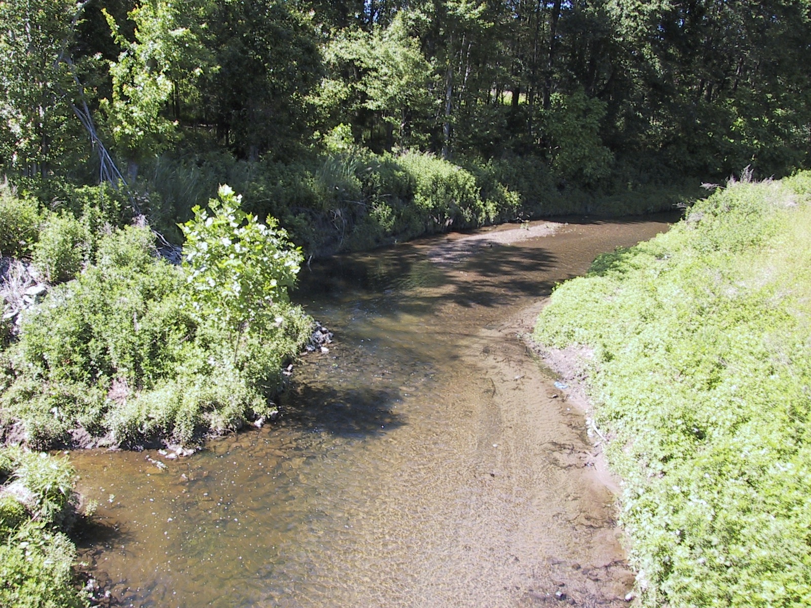
View from the Edison Drive bridge. The stream coming in from the
left drains the area near the public works complex.
The Edison Drive Bridge is 166
feet above sea level and located at 74 degrees 14'48.10" W, 40 degrees
54'42.39" N.
Total river distance between Barbour Pond and the Edison Drive Bridge
is 7.09 kilometers
OTHER LOCATIONS:
Valley Road Culvert: Samples taken from the downstream side of
the culvert located at Valley Road and Augusta Drive.
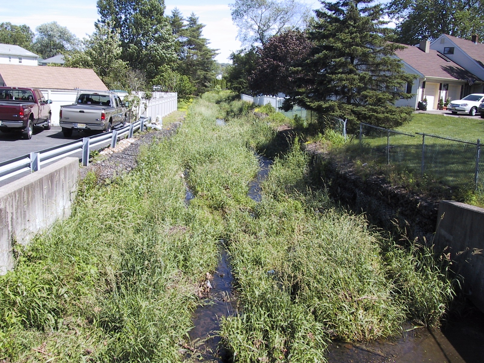
The Valley Road
Culvert Sample Point, June 2006. Note how the stream is lined
with rock at this point, also note how close it is to the backyards and
the amount of vegitation.
L. Ave Outlet: Sample taken from the mouth of the storm water
discharge pipe on the east bank of the brook, immediately upstream of
the bridge located at the junction of Laauwe and Preakness Avenues.
Contact Information
Kevin Olsen
Passaic River Institute
Room 359 Richardson Hall
Montclair State University
Normal Ave
Montclair, NJ, 07043
973-655-4076
973-655-7772 (Fax)
OlsenK@Mail.Montclair.Edu